Autonomous

Emesent Achieves Survey-Grade with SLAM-base Mapping

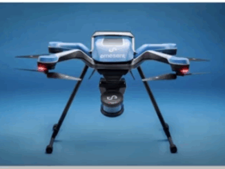
  Emesent recently launched its Hovermap ST to assist in the improvement of LiDAR mapping. On April 5, 2022, at…

LiDAR News Weighs in on HD Map Standards and the Creation of Opportunities

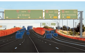
LiDAR 2022 held a live stream presentation on April 5, 2022, with LiDAR News CEO, Gene Roe. Roe spoke on…

Hexagon Completes Acquisition of Autonomous Vehicle Solutions Provider

Hexagon AB, a global leader in digital solutions, today announced the completion of the previously announced acquisition of AutonomouStuff, one…

One of the Best Geomatics events in Canada: GeoAlberta 2017

I had a chance to attend the 2017 GeoAlberta conference earlier this month in Calgary, Alberta. This was my first…

UAV Surveys – How to Ensure Accuracy and Precision

For the past four years, I’ve been involved with the capture and delivery of data derived from drones. My experience…

Marine Geomatics Primer: Using UUVs to Take Flight Underwater

Unmanned Underwater Vehicles One of the most interesting things to happen in regards to marine geomatics technology has been the…

Teledyne Optech introduces low-cost, automated airborne surveying at GEOINT 2016

Teledyne Optech is pleased to announce that it will showcase its latest airborne systems including the autonomous Optech Eclipse at…

New Autonomous Airborne Mapping Solution Redefines Industry Expectations

Teledyne Optech is pleased to announce the latest addition to its innovative line of airborne laser terrain mappers, the Optech…

New Online Publication: Drone Coalition

An exciting new online publication, Drone Coalition, launched in conjunction with the InterDrone 2015 Conference and Exposition in Las Vegas,…

Satellite-Based Earth Observation Market Analysis – Trends and Forecast

Satellite-based Earth Observation (EO) is a process of using remote-sensing technique to gather information on the chemical, physical and biological…

GeoDigital Secures Funding

HAMILTON, Ontario, June 11, 2014 – GeoDigital International Inc. (“GDI”), the leading provider of next‐generation 4D Geospatial imaging and business…