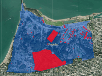
building footprints

Significant increase in lidar-derived elevation data coverage

Significant increase in lidar-derived elevation data coverage

The National Elevation Data Strategy team has increased its production rate. Detailed 3D products now cover 49% more area since…

In Canada EQ Partners with SafeGraph: Building Footprints and POI data

EQ Inc. , a leader in geospatial data and artificial intelligence driven software, is pleased to announce that it has…

Geometry: The Anchor of SafeGraph Places

This was republished from an original post on safegraph.com: Geometry: The Anchor of SafeGraph Places If you’ve heard of SafeGraph,…

Building-height Estimation using Street-view Images, Deep Learning, and Building Footprints

Introduction Building height is an important piece of information that has various important applications such as economic analysis, urban planning,…