Reality Capture & Lidar
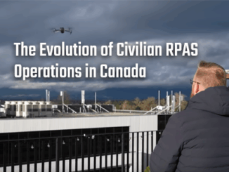
The Evolution of Civilian RPAS Operations in Canada
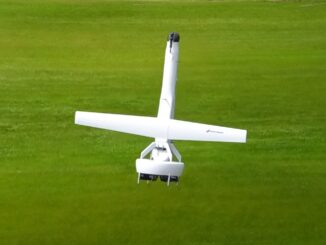
For better or worse, drones have a prominent position in today’s news, examples from the battlefield are common, and unfortunately, examples of misuse in civilian scenarios are all too frequently the focus of the news […]