Community
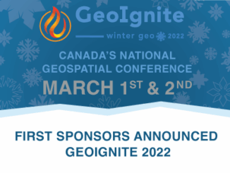
Day 1 Keynote & Important Talks GeoIgnite 2022, March 1
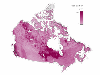
Join the Canadian Geospatial Community for two weeks of online engagement. GeoIgnite is a free event for the entire community. Updates from the Canadian private and public sector. GeoIgnite’ s “Winter Geo” is one video […]