Canadian Spatial Reference System
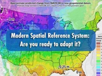
Modern Spatial Reference System: Are you ready to adopt it?
The spatial reference system is the skeletal structure of the geospatial industry. They serve as a driving force for various…
Canada is Moving in 2025 – Canada’s New Reference Frame NATRF2022
As GPS technology constantly evolves and the North American continent deforms, a modernization of our geodetic reference frames to accurately…
The Canadian Geodetic Survey – Supporting Accurate Geospatial Positioning in Canada
NRCan’s Canadian Geodetic Survey is responsible for defining, maintaining, and providing access to the Canadian Spatial Reference System (CSRS). In…