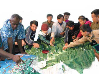
Canada Takes Part: Arctic Spatial Data Infrastructure Meets in Anchorage
The Arctic SDI Board, which includes mapping executives from Canada, Kingdom of Denmark, Finland, Iceland, Norway, Russia, Sweden and the United States, recently met in Anchorage, Alaska to further development of a robust Arctic Spatial […]


