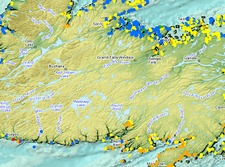
GeoIgnite 2020 Video : Hydrospatial – Understanding Coastal Flooding, Detection & Response for Tsunami
The GeoIgnite annual conference 2020 was power packed with discussions and presentations about compelling technologies, impressive scientific advancements and upcoming government initiatives in the Geospatial sector. Covid-19 did not hamper the event, and in fact […]


