Education & Careers
Geomatics in Action: How to Survey for Olympic Running Tracks
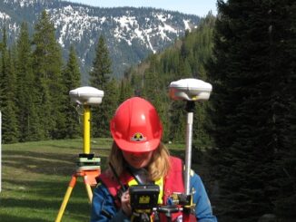
Shared by the Association of BC Land Surveyors. Written by George Miller. There are many running tracks with Olympic standard events in B.C. At one time, the running events had to be certified by a […]