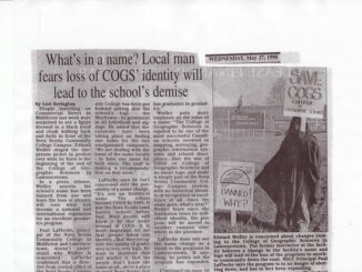
The Story of COGS
Editors note: Dr Maher is writing “The Story of COGS,” and through articles in the GoGeomatics Canada magazine, like the one below, he is sharing his experience and ongoing work on the book. This article […]
When GoGeomatics Canada asked me to write on the topic of “leadership in the geomatics community in Canada” I pondered the question a while. In many ways I see Canada’s geomatics sector from the outside […]
So as I write this, we are nearing the end of 2012 (or possibly the end of the world as we know it) and I thought that, just in case, I would submit my top […]
Modern Canada is internationally renowned for its cartographic practices and strong mapping systems. Canada is host to vast landscapes and diverse in climates and topography. These lands and waters were mapped and surveyed, by many […]
Canada’s north has always been a challenge to those living there and to geoscience professionals alike. The sheer size of the arctic and extreme cold have resulted in difficult access and contributed toward significant challenges […]
GoGeomatics Canada is talking to Dave MacLean – a member of the GIS Faculty at the Centre of Geographic Sciences (COGS) in Lawrencetown, Nova Scotia. GoGeomatics: Welcome to the GoGeomatics Canada community. To get started, […]
GoGeomatics: Welcome to the GoGeomatics Canada community. To get started can you tell us about where you are from and why you decided to make a career of GIS? Darin Brooks: Thanks for having me […]
The world of geomatics has changed dramatically in the past 20 years. Whereas GIS and other related geomatics technologies were largely the domain of professionals two decades ago, increasingly “non experts” are engaged in the […]