BIM & GIS
The Story Beneath the Map
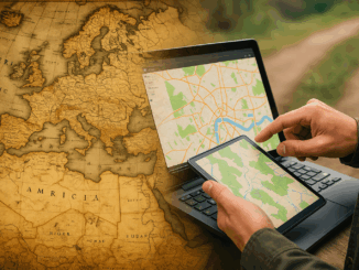
People open maps on their phones every day to check a route, locate a place, or understand what surrounds them. It feels simple, but a long history stands behind that moment. The journey to modern […]
People open maps on their phones every day to check a route, locate a place, or understand what surrounds them. It feels simple, but a long history stands behind that moment. The journey to modern […]
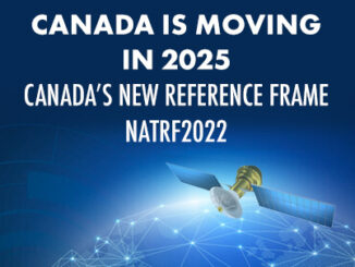
As GPS technology constantly evolves and the North American continent deforms, a modernization of our geodetic reference frames to accurately meet these needs is under way. Through GoGeomatics LiDAR CANEX, Calvin Klatt, the director of […]
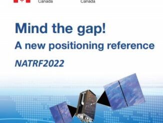
In this presentation, Calvin Klatt talks about how the U.S. reference system modernization effort will replace the North American Datum of 1983 (NAD83) with a new North American Terrestrial Reference Frame (NATRF2022), and what it […]