
Education & Careers
My COGS GIS Education, Part II
In my first article, I introduced the how and why I chose to attend COGS from the fall of 2014 to spring 2016. In Part 2, I wanted to give some insight into the first-year […]
In my first article, I introduced the how and why I chose to attend COGS from the fall of 2014 to spring 2016. In Part 2, I wanted to give some insight into the first-year […]
What About COGS The Centre of Geographic Sciences (COGS) is one of the best colleges in Canada for learning GIS. As a COGS graduate myself I am writing this article to help future students make […]
More powerful, even more robust and interoperable, JMap 7 is now available JMap’s 7th version is finally here! K2 Geospatial, a leading map-based solution developer, is proud to announce the release of the newest version […]

The UBC Faculty of Forestry is excited to announce that the official approval of the Master of Geomatics for Environmental Management (MGEM) Program. We are now accepting applications and will welcome our first cohort in August, […]

These days drones are all the rage. Nevertheless, there are other ways to collect data from the sky! Blimps, balloons and kites are alternative was to collecting data or remote-sensing imagery. These are great unconventional solutions for […]
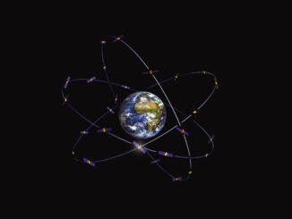
Since December 15, 2016, the new Galileo global satellite navigation system has been up and running. Unfortunately, there are some technical difficulties on the horizon, having to do with the clocks that are on […]
It is rare to learn of a GIS company in which much R&D is done up front to create the programming language used to build its tools. Ecere, a Canadian company based in Gatineau, Québec, […]
I spent Christmas in Sydney, Cape Breton. While there, I had the time to read David Gauntlett’s book ‘Making is Connecting’. Gauntlett is Professor, Creativity and Design at the University of Westminister, UK. He starts with […]