GEOAI
GeoAI in Marine Monitoring: Can this Synergy Work?
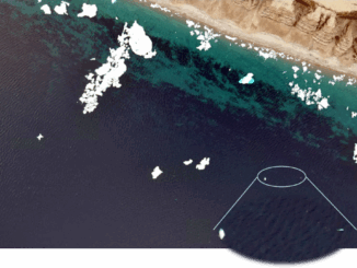
GeoAI is to use artificial intelligence (AI) in conjunction with geospatial data to address geographically oriented problems. The combination of GeoAI and marine is not as widespread as in other sectors. Though promising for environmental […]