digital twin
Developing a subsurface digital twin for Canada: A call to action
Damage to underground infrastructure during construction costs the Canadian economy about $3 billion in direct and indirect costs every year.…
Canadian Geospatial Briefing May 2nd: 1. RCGS releases map in solidarity with Ukraine. 2. YVR launches its digital twin 3. Kraken’s Robotics as a Service (RaaS) contract with the Royal Canadian Navy. 4. 19th-century atlas of PEI
RCGS (Royal Canadian Geographical Society) releases a new map in solidarity with Ukraine. The Royal Canadian Geographical Society produced this…
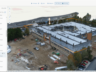
Clirio Launches World’s First End-to-End Holographic Scan and Review Apps for Field Inspections and Digital Twinning
The new Clirio app builds on their acclaimed Ada visualization software to add the features clients need to capture, organize,…
Canadian Geospatial Briefing March 21st: 1. Developing a subsurface digital twin for Canada. 2. Putting Indigenous knowledge on the map. 3. Mapping all flood prone areas in the Yukon. 4. Environmental impact of trucker protest. 5. Using AI to measure urban sprawl in Canada.
The Virtual Subsurface Utility Mapping Strategy Forum Conference 2022 presents a panel on developing a subsurface digital twin for Canada…