Community
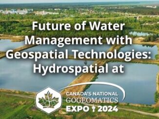
Future of Water Management with Geospatial Technologies: Hydrospatial at the GoGeomatics Expo
As the inaugural Chair of the Hydrospatial program at this year’s GoGeomatics Expo, I invite you to join us for talks and panels devoted to the Future of Water Management with Geospatial Technologies. This year, […]