Newsmakers & Press Releases
Canadian Remote Sensing Training: Summer School – Montreal 19 June 2017
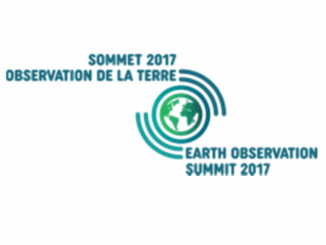
The Earth Observation (EO) Summit 2017 brings together in one exceptional event the 38th Canadian Symposium on Remote Sensing (CSRS), the 17th Congress of the Association Québécoise de Télédétection (AQT), the 11th Advanced SAR (ASAR) […]