field data capture
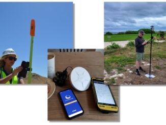
Why Are Mapping Handhelds Becoming Less Popular?
All-in-one mapping-grade GPS/GNSS handhelds shined in their day, but advances in mobile computing, bring-your-own-device, affordable high precision, and pay-as-you-go options,…
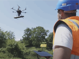
Skipper NDT Uses Drone to Make Pipeline Maintenance Quicker, Safer, and More Precise
The drone-based platform covers the blind spot in current technology. Skipper NDT Co-founder and COO, Luigi Kassir, spoke on locating…
As-built Update Backlog Challenge Addressed by SSP Innovations
Where there is a challenge, there is a solution. On March 23, 2022, Peter Batty, Chief Research Officer at SSP…
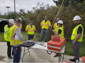
PriSUM Technologies Discusses the NJ DOT Project and How IMU Mapping Tools Reduce Damages
PriSUM Technologies believes in a proactive approach. The last livestream presentation of SUMSF on March 23, 2022, was given by…
Clirio Launches World’s First End-to-End Holographic Scan and Review Apps for Field Inspections and Digital Twinning
The new Clirio app builds on their acclaimed Ada visualization software to add the features clients need to capture, organize,…