flood

The Crucial Role of Geospatial Data and AI building a National Flood Strategy

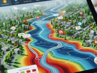
Interview: The Crucial Role of Geospatial Data and AI in Building a National Flood Strategy for Canada

Canada has faced a surge of extreme weather events in recent years, with devastating floods impacting communities nationwide. These events…

International Digest Feb 5

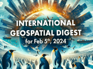
International Geospatial Digest for Feb 5th, 2024

Climate change could affect major port cities on America’s East Coast Thousands of Emperor Penguins discovered by satellite Unlocking new…

FHIMP Invitation for Proposals: Funding Opportunities for Flood Hazard Identification and Mapping Projects

Introduction The Flood Hazard Identification and Mapping Program (FHIMP) is a five-year initiative (2023-2028) led by Natural Resources Canada (NRCan)…

Canadian Geospatial Briefing November 22nd, 2022

AI aims to prevent a repeat of 2004 Peterborough flood City of Medicine Hat Wins 2022 ESRI special achievement in…

CHORUS Constellation Evolutionalizes How We Understand Climate Change

“CHORUS will evolve our understanding of climate change” CHORUS, MDA’s commercial Earth observation mission and a collaborative multi-sensor constellation, is…

Building Software Solutions for Climate Change: Closing the communication gap between citizens and trusted authorities before, during, or after a disaster.

A Climate Change Problem: The Communication Gap between Citizens and Authorities At a time of rising climate change impacts, there…

How Deploy Solutions can help bridge the communications gap in times of climate change crisis

Our Changing Climate The world we live in is changing, with global warming reshaping climate and causing more frequent, more…

Building Software Solutions for Climate Change: Closing the communication gap between citizens and trusted authorities before, during, or after a disaster

A Climate Change Problem: The Communication Gap between Citizens and Authorities At a time of rising climate change impacts, there…

Your Canadian Geospatial Briefing for May 21st: Jim Watson at GeoIgnite; Flood maps; Maxar and DARPA; RADARSAT

Mayor Jim Watson to open GeoIgnite 2019  GeoIgnite is excited to announce that Mayor Jim Watson will be introducing the…