• facebook
  • Twitter
  • Linkedin
  • Youtube
  • Linkedin Group
  • Post a Job
  • Post an Ad
  • Post an Event
  • Post a Directory Listing
  • Post a Press Release
  • Media Kit
  • My Account
  • Login
GoGeomatics
  • MAGAZINE
    • BIM & GIS
    • Community
    • Conference news
    • Earth Observation
    • Education & Careers
    • GEOAI
    • Announcements
    • Reality Capture & Lidar
    • Science
    • Technology
  • Directories
    • ASSOCIATION
    • INDUSTRY
    • EDUCATION
    • Open Data
  • EVENTS
    • GeoIgnite Events
    • Events Calendar
    • GoGeomatics Meetups
  • Services
    • Advertising
    • Marketing
    • Post a Job
    • Post an Ad
    • Post an Event
    • Post a Press Release
    • Post a Directory Listing
    • Media Kit
    • Web Design
  • Find a Job
  • Volunteer
    • Start a GoGeomatics Group
    • Editors & Writers Group
  • About Us
    • About Us
    • Contact Us
    • Frequently Asked Questions
  • Videos
HomeGalileo

Galileo

GNSS system
Science

Navigating the Future: Why Canada Needs a Sovereign GNSS

8 May 2025 Anusuya Datta | Arctic

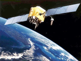
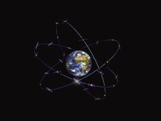
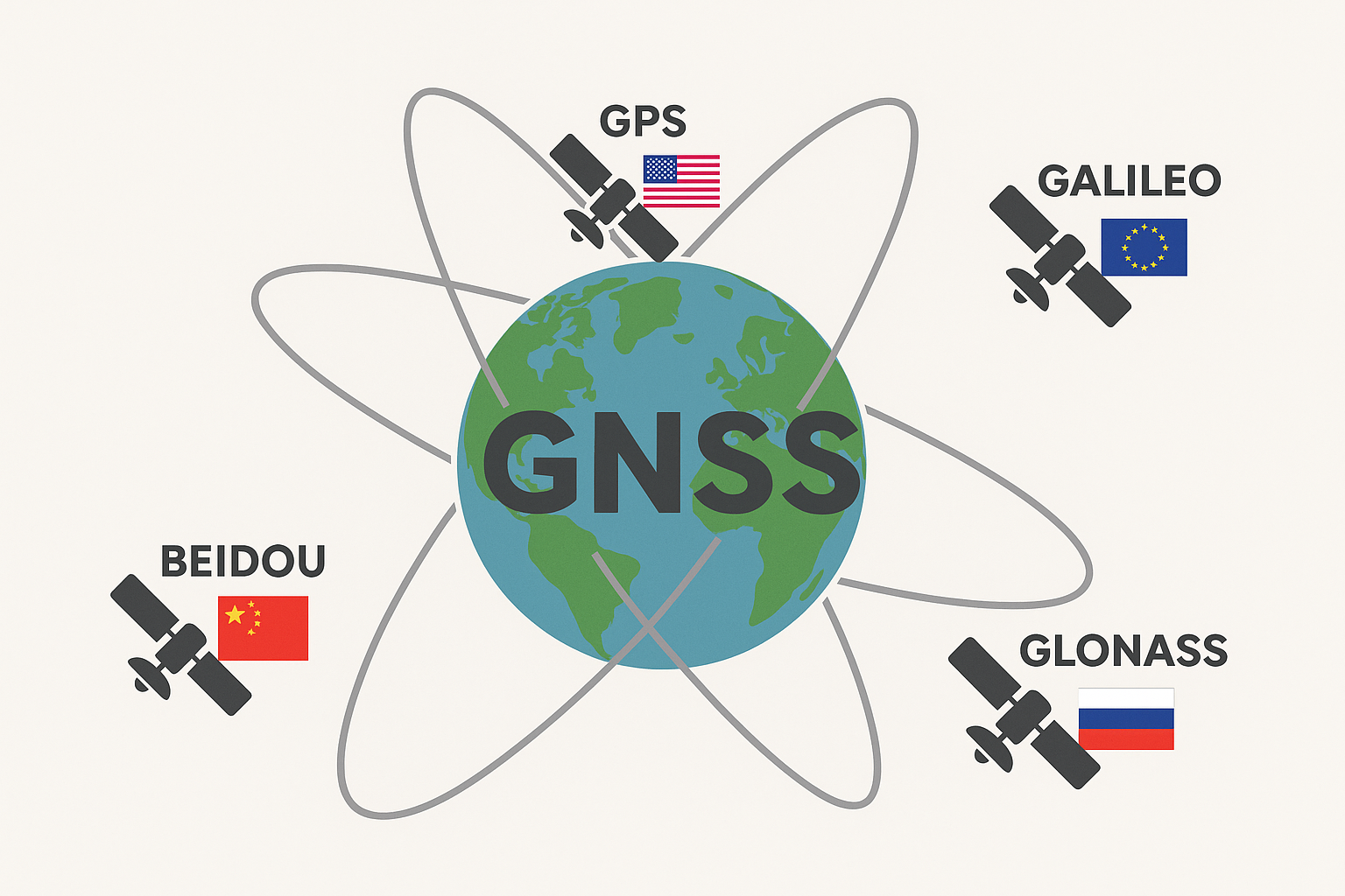
As the world becomes more unpredictable, the case for Canada’s self-reliance in critical infrastructure is stronger than ever. One of the biggest gaps is in satellite navigation. Positioning, navigation, and timing (PNT) have become core […]

Global Navigation Satellite Systems||||||||||||
Technology

Global Navigation Satellite Systems: The proliferation of satellites

10 October 2024 Alefiya Dungrawala | beidou

GPS (Global Positioning System) – United States Operational Date: 1978 (Initial operational capability), 1995 (Full operational capability) GLONASS (Global Navigation Satellite System) – Russia Operational Date: 1982 (Initial operational capability), 1996 (Full operational capability), 2011 […]

Technology

NRCan Presents Positioning Lidar & the Canadian Geospatial Industry for the Future at Lidar CANEX 2023

24 May 2023 GoGeomatics Canada | Archaeology GIS

Dr. Calvin Klatt, PhD, Natural Resources Canada’s Director Canadian Geodetic Survey spoke on Positioning Lidar and the Canadian Geospatial Industry for the Future during a livestream presentation at Lidar CANEX 2023, on Tuesday, April 25, […]

No Picture

All you need to know about the performance of Europe’s Global Navigation Satellite System

2 February 2021 Vishul Malik | Galileo

Global Navigation Satellite Systems (GNSS) provide services to billions of users around the world for various applications. This has resulted in the need for monitoring the performance of GNSS as part of the service provision […]

|||
Technology

Global Positioning System (GPS): How does it Work?

23 October 2020 Lindsey Goncalves | beidou

I recently read about the delay of China’s BeiDou mission and how, instead, China chose to launch a fifth satellite as part of their China High-resolution Earth Observation System (CHEOS). This occurred in late August and […]

||
Technology

Your Global Geospatial Briefing for June 4th: Free Sentinal-2 images; GEO Business; Hexagon and Klau Geomatics; Gaofen-6; Galileo second generation

4 June 2018 GoGeomatics Canada | ArcGIS

ESRI users will receive Sentinel-2 Image Services free  Imagery from the Earth Observation Satellite Sentinel-2 is available through the Living Atlas, included with all ArcGIS online subscriptions, and will now be available to all ESRI ArcGIS […]

||
Technology

New Galileo navigation system is experiencing clock failures

6 February 2017 David Boileau | 2015

  Since December 15, 2016, the new Galileo global satellite navigation system has been up and running. Unfortunately, there are some technical difficulties on the horizon, having to do with the clocks that are on […]

Community

The 5 most interesting things that happened in geomatics in 2016

21 December 2016 Florin-Daniel Cioloboc | 2016

Let’s take a step back and have a look at what happened this year. To be honest, it was pretty hard selection. There are way too many things happening at this point around the world. […]

Posts pagination

1 2 »

Events

Notice
There are no upcoming events.

View All Events

Services

  • Post a Job
  • Post an Ad
  • Post an Event
  • Post a Directory Listing
  • Post a Press Release
  • Media Kit
  • My Account
  • Login

Jobs

Post a Job
  • Canada Maps and Poster Gallery Volunteer Leads — GeoIgnite 2026
    remote
  • GIS & Data Analytics Lead
    Beaumont, AB
  • Lead Surveyor, Projects/Arpenteur-géomètre principal, projets; arpenteuse-géomètre principale, projets
    North Bay, Thunder Bay
  • Senior GIS Developer
    Calgary, AB
View All Jobs
  • Directories
    • Associations Directory
    • Industry Directory
    • Education Programs
    • Open Data
  • Volunteer
    • Start a GoGeomatics Group
    • Editors & Writers Group
  • About Us
    • GoGeomatics Media Kit
    • Who We Are
    • Contact Us
    • FAQ’s
    • Advertising
    • Marketing
  • Subscribe
GoGeomatics
GoGeomatics is the largest and most popular communications hub promoting the Canadian geospatial community. The business was incorporated in 2011. GoGeomatics hosts over 100 fun, free, location technology networking events each year in cities across Canada.

© 2025 GoGeomatics

  • facebook
  • Twitter
  • Linkedin
  • Youtube
  • Linkedin Group