geographic data
Memorial University’s Marine Institute joins global endeavour to map ocean floor
The Nippon Foundation-GEBCO Seabed 2030 Project has announced a new partnership with the Memorial University of Newfoundland’s Fisheries and Marine…
2022 Back to School Socials in Pictures – Thank you Sponsors & Participants!
The 7th annual GoGeomatics 2022 Back to School Socials have been a tremendous success. Our groups and group leaders across…
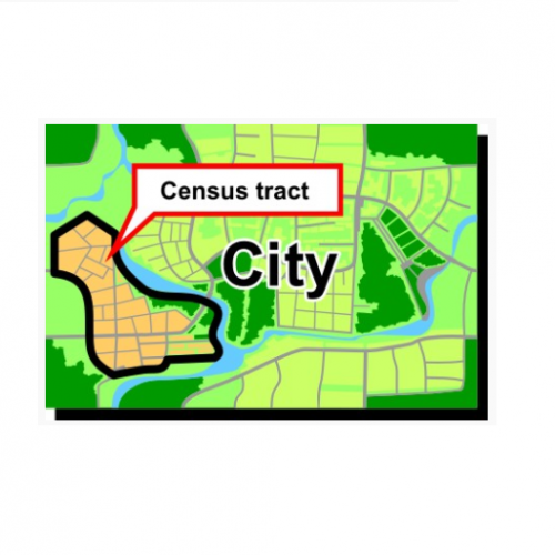
What are Statistics Canada’s geographic terms: CT, CSD, CMA and more
Geographic data are applied in any location-based projects. We all might hear a lot about geographic terms but when we…
2019-2020 Back to School Socials in Pictures – Thank you Sponsors & Participants!
The 6th annual GoGeomatics 2019 Back to School Socials have been a tremendous success. After coming off the success of…
Google Earth Engine – What is a Data Cube and Why Canadians Should Care
What is a data cube and how is it used for big data analytics? How does a data cube work…
Esri Canada Community Maps Program: Why more communities need to take advantage of this
The Community Maps Program (CMP) was introduced by Esri Canada in 2009 allowing organizations to share and host geographic data. …
Graph Databases – Recent development in Neo4j may help accommodate the Geospatial Community
Graph Databases and GIS & Technology (GIS&T) In the era of big data, graph databases are becoming very popular as…
A List of Geospatial Open Data Resources in Canada
Recently, I read an article about the Canadian Geospatial Data Infrastructure (CGDI) that seeks to explain why the CGDI, among many…
Geospatial Development: Enhancing GIS curricula with programming skills at UNB
Geospatial information science and technology (GIS&T) has rapidly evolved over the last few decades. This evolution has created a highly…
what3words adopted by six national mapping agencies
what3words, the multi-award winning location reference system, has today announced that six national mapping agencies have adopted 3-word addresses. Used…
The Importance of Students & Young Professionals in Canada’s Geomatics Community
With the help of our sponsors GoGeomatics Canada is bringing students and young geospatial professionals together at 11 events from…
GIS Health Studies: Conduct Spatial Exposure Assessments
Interested in how to conduct different types of spatial exposure assessments for air pollution or other exposures to a population? …


