Earth Observation
Key Environmental Mapping Initiatives Shaping Canada’s Geospatial Landscape
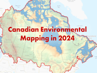
In 2024, Canada saw significant strides in environmental mapping, with both federal and provincial governments taking active roles in enhancing geospatial data for climate resilience, land management, and natural resource protection. From updating critical digital […]