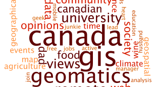
Community
A creative in a geospatial scientist’s world
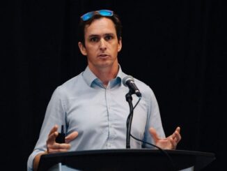
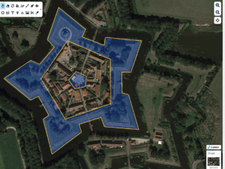
Jonathan Wagner took time to “Map” the right path for himself Some people leave high school sure of where they want their lives to go, their career and life path planned out for them. Others, […]