Community
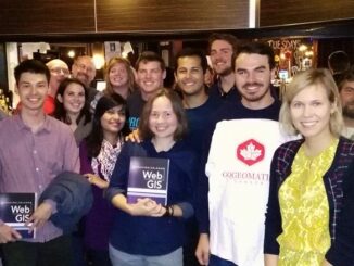
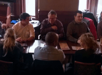
Canadian Cartography: GoGeomatics Edmonton Visits the University of Alberta Map Library & Collections
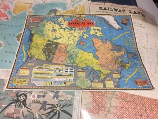
Last night the Edmonton GoGeomatics Group had the chance to explore the amazing collection of historic maps at the University of Alberta (U of A). Larry Laliberte, the U of A GIS Librarian, introduced the […]