global

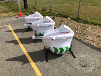
Government of Canada Awards DDC First Contract For Heavy-Lift Condor Drone

Drone Delivery Canada Corp. (DDC) is pleased to announce that, with the assistance of its sales agent Air Canada, has…

Digital Twins 2023 Virtual Conference Is Coming Your Way

The Digital Twins 2023 Conference aims to make the world a better place. Innovation, investment, and location intelligence lay the…

Panelists Discuss Using Geointelligence and AI to Solve Real World Problems

Maxar Sponsors Panel Discussion at GeoIgnite, Winter Geo During a livestream at the GeoIgnite, Winter Geo conference on March 1,…

wGIC

Spatial Digital Twins Research Project Initiated by WGIC

Spatial Digital Twins Research Project Initiated by WGIC

GeoIgnite 2020: Growing Canada’s Next Earth Observation (EO) Generation

GeoIgnite is Canada’s National Geospatial conference hosted by GoGeomatics Canada. GeoIgnite was held online using Zoom July 22nd to 24th,…

Live Map with Updates Coronavirus (COVID-19) situation

You can find the latest facts and figures using this ArcGIS live update map below for the coronavirus. Here are…

International Digest July 3rd, 2019

Your Global Geospatial Briefing for July 2nd: Cities can address the roots of urban challenges; Geospatial among hottest job skills;…

Collaboration between WGIC and UN mark new milestone strengthening global geospatial information ecosystem

Geospatial World Forum 2019, bringing together more than a thousand industry thought leaders from over 75 countries in Amsterdam, had…

WGIC announces appointment of new President and Treasurer for 2019 – 2020 term

New Delhi | April 17, 2019 I Place: Amsterdam  The Annual General Meeting of the World Geospatial Industry Council (WGIC),…

Google Earth Engine – What is a Data Cube and Why Canadians Should Care

What is a data cube and how is it used for big data analytics?  How does a data cube work…

Master’s Thesis Student Recruitment: Amphibious Housing in Vietnam

University of Waterloo searching Funded Master’s (MA or MES) research project Dr. Carrie Mitchell (UW-Planning) and Dr. Brent Doberstein (UW-Geography…

UAV Surveys – How to Ensure Accuracy and Precision

For the past four years, I’ve been involved with the capture and delivery of data derived from drones. My experience…

1 2 3 19