
Your Global Geospatial Briefing for July 2nd: Cities can address the roots of urban challenges; Geospatial among hottest job skills; How Remote Sensing Helps us Grow our Food; Additional $10M Approved for Geospatial Mapping; Geospatial ethics
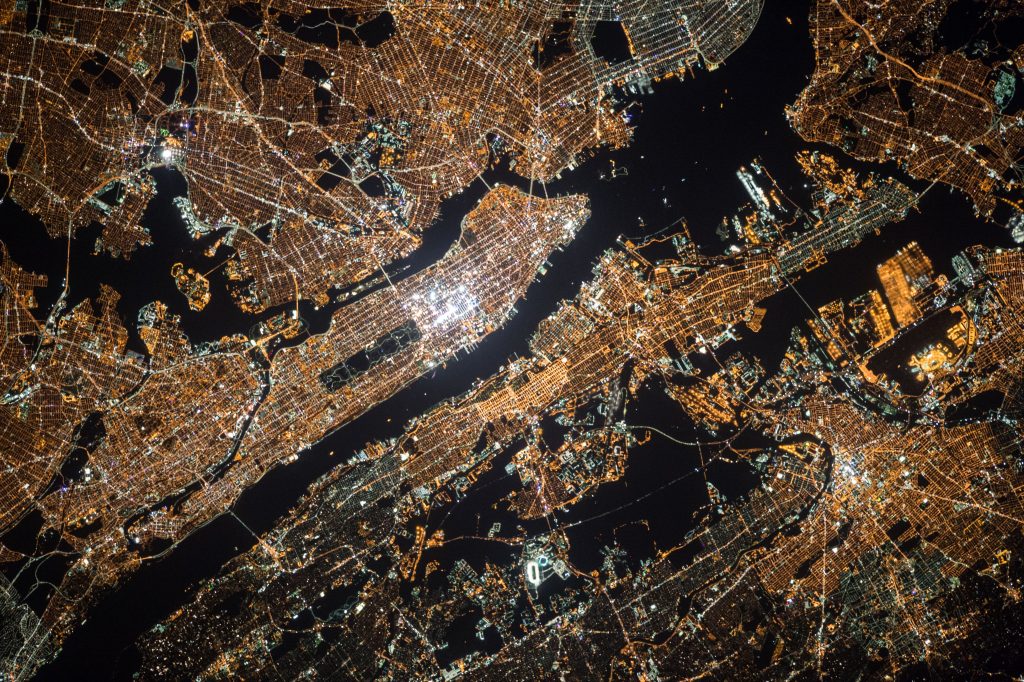
With an ever growing list of challenges urban communities face, the “smart cities” challenge is becoming both more necessary and more difficult.
The Canadian Smart Cities Challenge was announced in 2017, with the goal being that participating communities engage with their residents and discuss potential solutions to challenges they face on both a local and regional level. 41% mentioned the need to improve well-being through health, community engagement and safety. Solutions with the use of mobile applications via information dissemination, monitors with sensors and cameras were mentioned. 31% mentioned the need to improve the environment and mobility via new energy sources and 28% mentioned the economic development.
The European Approach to the “Smart City” Challenge is categorized under 6 areas: smart economy, people, governance, mobility, environment and living, with the belief that the combination of these 6 areas will make smart cities, intelligent cities.
Intelligent – rather than smart – cities can address the roots of urban challenges
Geospatial is hottest job skill to date

Photo by Marten Bjork
Geospatial technology is the reason people can better understand the world around them. 80% of all data presented contains a spatial or location-based component, making the need for geospatial data more important than it has ever been. This growing need presents an amazing opportunity to geospatial experts both looking for a stable career and to make a different in society at large.
Also Read: GIS is the most preferred career choice
Geospatial among hottest job skills
How Remote Sensing Helps us Grow our Food
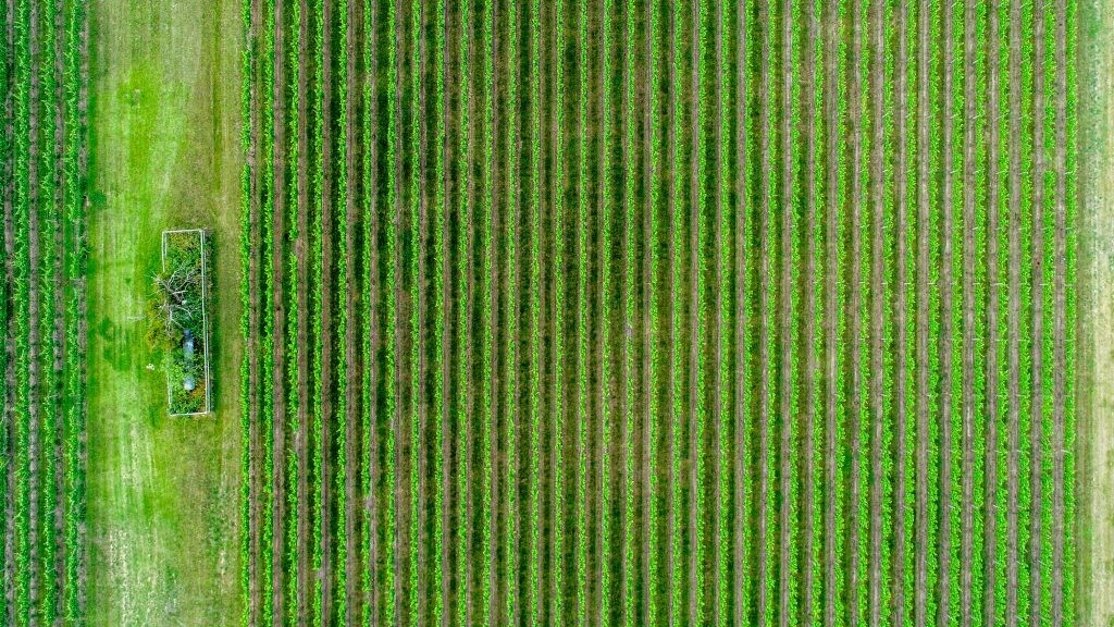
The challenge our growing population faces with our decreasing resources can no longer be ignored.
Remote sensing has evolved into one of the most useful tools to face this problem. It acts as an input for data-driven smart agriculture. This tool will allow us to enable smarter, more sustainable food production. This data will allow agri-businesses to use sustainable practices without the complete uncertainty.
It’ll impact main decisions such as: Knowing what to plant, when, and the right time to harvest; soil mapping and irrigation needs; assessing crop health across stages; evaluating land quality and degradation mapping; monitoring drought and weather-related factors; virtual supervision and finally protection against pests and diseases.
How Remote Sensing Helps us Grow our Food Better
Additional $10M Approved for Geospatial Mapping
On June 10, 2019, the U.S. House Appropriations Committee approved an additional $10M for fundamental mapping work to be managed by the U.S. Geological Survey. These additional funds will assist and strengthen the protection of drinking water, hazards resilience, infrastructure design, natural resource management and fundamental research applications. Of this additional funding, 50% will be allocated to the coverage of the Great Lake region.
House Approves Additional $10M for Geospatial Mapping to Address Water Quality, Hazard Resilience.
Geospatial Ethics
With the growth of Artificial Intelligence technologies, comes the growing question on ethics. As the number of questions grow, the geospatial sector is bound to face ethical questions in the near future.
The American Geographical Society has, in answer, come up with the initiative of EthicalGeo, an initiative meant to bring together field related individuals to allow a conversation on ethical challenges and opportunities. With the goal being to start a larger discussion on the future implication on geospatial innovations.
To join this initiative, submit your ideas to http://www.EthicalGEO.org


Be the first to comment