
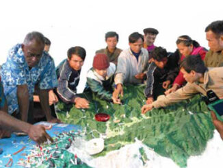
Community

HAMILTON, Ontario, June 11, 2014 – GeoDigital International Inc. (“GDI”), the leading provider of next‐generation 4D Geospatial imaging and business intelligence solutions, announced today that it has raised an undisclosed amount of new equity financing […]
In recent years, high–resolution spaceborne imagery (HRSI), up to 50cm spatial resolution, has become readily available for no cost using such applications as Google Earth and Bing Maps. Thanks to this new availability of free […]

In order to determine whether geomatics is the most appropriate term for this field it may be useful to review some history. In the mid-1980s the various sub-disciplines of what is now called geomatics, consisting […]
OSCAR-js (oscar.caris.com)is an open source JavaScript Application Programming Interface (API) created by CARIS. The vision of the project is to ”put into code” solutions for common, high-level GIS business problems. The initial focus is on […]
GoGeomatics Canada got in touch with Natural Resources Canada (NRCan) in order to ask them about all the most recent goings on over there on Booth Street in Ottawa. Michelle Viau, the Communications Advisor in […]
In honour of International Women’s day on March 8th, GoGeomatics will feature interviews and articles by women about women in our field. GoGeomatics Canada is honored to welcome Fiona Hatfield, GIS and BI Consultant to […]
Data acquisition is without a doubt one of the most important processes in the implementation of any GIS. As GIS professionals, it is imperative that we have access to and work only with spatial information […]