google street view
Canadian Geospatial Digest May 29th, 2023
Why are hazard maps still lacking in NWT communities? Alberta wildfires are depicted on a digital map in near real-time.…
International Geospatial Briefing June 27th: 1. Deepest Point of Antarctica’s Southern Ocean Mapped; 2. Digital Twin of Denmark’s Transmission Network; 3. Map Compares the World’s Mountains and Rivers; 4. How Geospatial can be Applied to Climate Challenges; 5. When Digital Tools Fail to Document; 6. Shifting from Response to Recovery
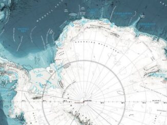
1. Deepest Point of Antarctica’s Southern Ocean Mapped The deepest point of the Southern Ocean surrounding Antarctica – a 7,432-meter…