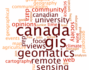
Anything New in the World of Mapping APIs?
Last week was a big week in the web and mobile mapping world on at least two fronts. First, Amazon announced plans to release a mapping API to support the Kindle Fire HD. That alone […]
The City of Ottawa Official Plan set a target of 30% tree canopy cover for the entire city. To the author’s knowledge there is no information on the amount of tree canopy for the entire […]
Here at GoGeomatics Canada, we want to say hello to our new users and “surprise” to our existing members. We have a new site and new tools for your Canadian geomatics career and interests. Lets […]
GoGeomatics: Welcome to the GoGeomatics Canada community. First off, can you tell us about where you are from and where you have lived throughout your GIS career? Brad Maguire: Thanks very much. I grew up outside […]
I had just finished a trip in Kincardine, Ontario and was preparing for the upcoming eight-hour long drive back to Ottawa. I am interested in GIS and therefore decided to test out some software capabilities […]
Hello GIS, Geomatics, and Remote Sensing Friends! In February, I was given the opportunity to attend TECTERRA’s Investing in Innovation: Geomatics Growth & New Opportunities for Canadian Companies event held in Ottawa, Ontario. After graduating […]
To properly and effectively design and manage the city’s tree canopy it is important to quantify the amount and composition of existing vegetation. Knowing this baseline information provides a benchmark for identifying tree canopy targets […]
I know things that others don’t, I feel things that others can’t And yet its not part of this time or this place. — From the poem “Out of Time, Out of Place” by Daniel […]