BIM & GIS
Atomic to Tactical: DND and CAF Drive Innovation in GPS-Free Timing
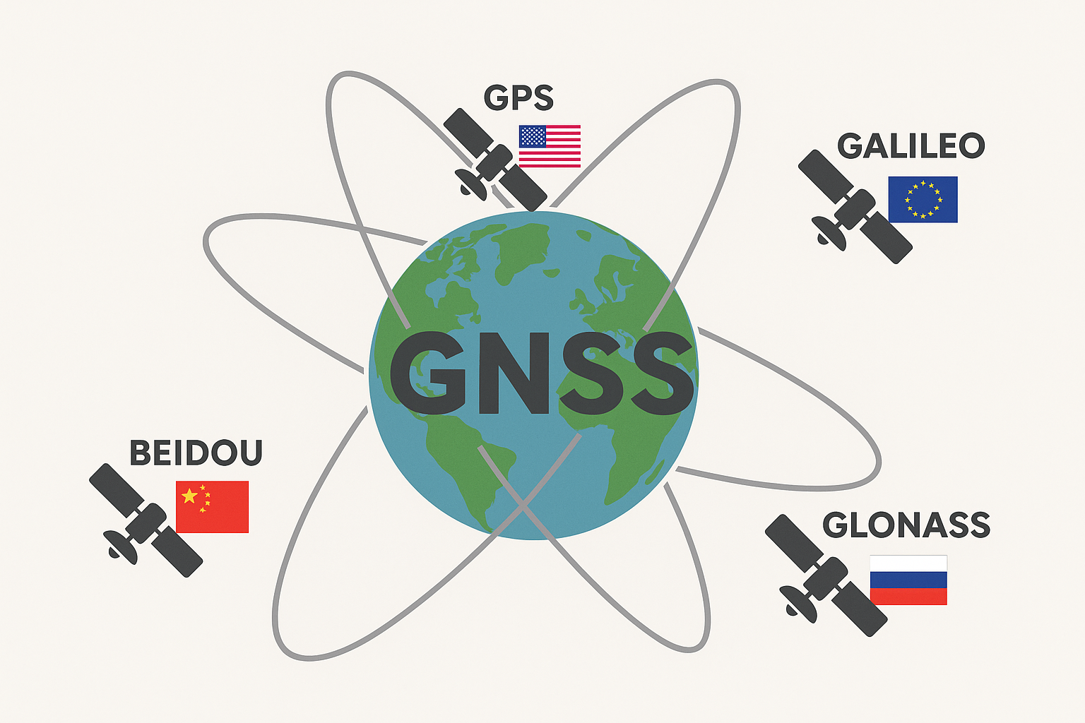
Atomic clocks have become central to the Global Navigation Satellite System (GNSS) and GPS because they are highly developed quantum sensors that enable precise timing and positioning. Defense timing today depends on GPS signal distribution, […]