heatmap
International Geospatial Briefing May 3: Growing problem of deepfake satellite images; Bird migration map shows huge influx into Michigan; Google Earth timelapse visualizes human footprint; Remote Sensing to study chimoanzees; Mapping of childhood undernutrition in India
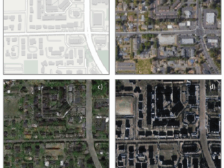
False satellite images created by machine learning raise concerns about the reliability of data AI technologies has been used to…
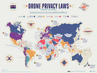
International Geospatial Briefing February 9th – What are we doing about space traffic management?; new urban planning GIS tool to improve urban climate resilience; Drone Privacy Laws; World’s Longest and Deepest Alternating Current Cable Route; Ex-Uber team – Unfolded.ai
What are we doing about space traffic management? As spaceX continues to launch more and more satellites through their ridesharing…
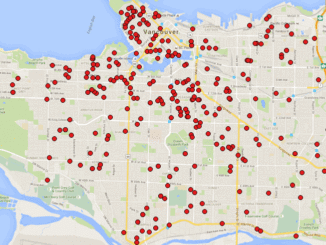
Making a Crow Attack Web Page With Open Source GIS Tools
Of all the pleasant events that happen in spring, crow attacks rank at the bottom of the pile. Crows become…
Getting to First Base with GIS
A friend of mine who volunteers with a girls’ softball team came to me with a request recently. “I have…