high resolution satellite
Event Recap: COGS & CIG & GANS Cooperate for Mapping Workshop
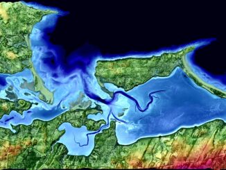
The Canadian Institute of Geomatics (CIG) Nova Scotia Branch and the Geomatics Association of Nova Scotia (GANS), two regional professional organizations that foster the application of geographic information within the geomatics sector recently collaborated to host a high resolution mapping workshop at the Centre of Geographic Sciences (COGS) in Lawrencetown, Nova Scotia.
Atlantic Canada: COGS: Geomatics Professionals Coming to Discuss High Resolution Coastal Mapping
High Resolution Coastal Zone Mapping This collaborative effort by GANS & the CIG will engage the geospatial community & increase awareness on the value…
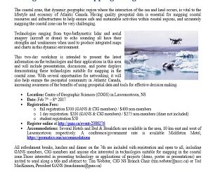
Feb 7-8: Two Day Workshop on High Resolution Mapping Along Coastal Zones
The coastal zone, that dynamic geographic region where the interaction of the sea and land occurs, is vital to the…
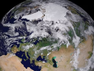
DigitalGlobe Produces the World’s First Complete and Consistent High Resolution Satellite Imagery Base Map of Africa
Apr. 28, 2015– DigitalGlobe, Inc. (NYSE: DGI), a leading global provider of high-resolution earth imagery and geospatial solutions, today announced…
Furthering Canada’s Geomatics Strategy: New Visions – New Direction – New Future
The recent publication of the ‘Canadian Geomatics Community Strategy “White Paper” and Scenarios’ has added another perspective toward furthering the development…
Measuring Tree Canopy Cover in an Urban Environment
To properly and effectively design and manage the city’s tree canopy it is important to quantify the amount and composition…