Education & Careers
Getting to First Base with GIS
A friend of mine who volunteers with a girls’ softball team came to me with a request recently. “I have the addresses of all of the girls in our softball league”, she said. “I want […]
A friend of mine who volunteers with a girls’ softball team came to me with a request recently. “I have the addresses of all of the girls in our softball league”, she said. “I want […]

This article focuses on the process of creating a very out-of-date map in GIS. Lots has gone on since I posted Gettysburg: What Could Lee See? last summer. Technology continues to evolve at a dizzying […]
Elevation Web Services: Limitations and Prospects Elevation data is necessary for a wide range of geospatial applications such as creating relief maps and rendering 3D visualizations, deriving the slope and aspect of a geographic area, […]
Clearwater Seafoods is one of the largest vertically integrated seafood companies in North America and provides premium wild, eco-certified seafood to more than 30 countries around the world. Committed to sustainable seafood excellence, the company […]
This article is the first in a monthly GoGeomatics Canada series on topics related to Open Source GIS for Everyone, by Rick Davidson and Jim O’Leary, Continuing Studies (CS) instructors at Langara College in Vancouver, […]
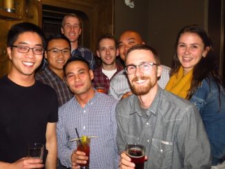
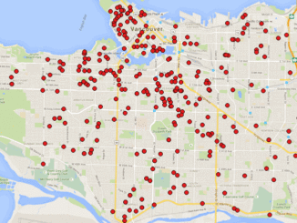
The 2nd annual GoGeomatics 2015 Back to School Socials have been a tremendous success. Last year we had 200 participants and we thought that was huge. This year we almost doubled that with 365 participants. […]

I am a retired geographic educator. I am a geographer. I understand GIS. Or should I say I LOVE Geomatics? I have spent my career promoting geo-literacy/geospatial literacy. I am geospatially-oriented. This is my point […]
In February 2005, Google Maps was launched as a desktop web mapping service. A few months later, in June 2005, Google Earth was released for personal computers. Since then, people around the globe have been […]