information technology

buildingSMART International Standards Summit – Montreal 2022

For the first time since 2014, the buildingSMART International Standards Summit will be held in North America from October 18,…

GeoIgnite 2022: March 1 & 2, Canada’s National Geospatial Conference is Back

GoGeomatics Canada is proud to announce the 4th edition of Canada’s National Geospatial Conference GeoIgnite. Winter Geo is the name of…

GeoIgnite 2020 Video: Digital Transformation – Bilyana Anicic

Bilyana Anicic, the president from Aurora Consulting talks about Digital Transformation on GeoIgnite 2020. In this session, Bilyana sheds light on how we see data in future

Geospatial World Awards 2020 goes digital

September 15, 2020: Geospatial Media and Communications has announced its Geospatial World Awards will take place virtually this year, for…

My COGS GIS Education

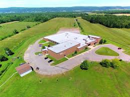
What About COGS The Centre of Geographic Sciences (COGS) is one of the best colleges in Canada for learning GIS. …

UAV Technology in the Canadian Forestry Sector

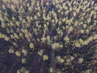
The Unmanned Aerial Vehicle (UAV) industry is soaring! Civilian drones are being applied in various global industries ranging from agriculture…

East View Secures New Partnership Agreement with Valtus

MINNEAPOLIS – March 1, 2016 – East View Geospatial is excited to announce an agreement with Valtus Imagery Services, part of…

2016 Canadian Geomatics Events & Conferences

This is our list Canadian geomatics conferences and events for 2016. Here you will find events pertaining to GIS, remote…

John Potter Recognized with Esri Canada’s Roger F. Tomlinson Lifetime Achievement Award

REGINA, Esri Canada User Conference – November 3, 2015 – Esri Canada today presented John Potter, a professional engineer who…

GeoDecisions’ GeoILS Intelligent Location Server Used to Track Icebergs

A Canadian expedition team used GeoDecisions’ GeoILS® platform to help track icebergs during a voyage to better understand how icebergs…

West Parry Sound Geography Network Wins Esri Canada’s Award of Excellence in GIS

Use of mapping technology facilitates efficient data sharing and increased collaboration among rural municipalities Thunder Bay, ON, Esri Canada User…

EnWin Utilities Recognized for Using GIS to Improve Access to Key Operational Information

Consolidating hydro and water network data into a single geodatabase provides better decision support London, Esri Canada User Conference –…