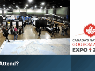
Leica HxMap Webinar: 3D City Modelling Workflow
Join us on 25 February to learn about the 3D city modelling module in Leica HxMap, Leica Geosystems’ high-performance unified…
How can today’s surveyors prepare to best support the growing demand to create Smart Digital Realities? This is the question…
An innovative prism pole, the first of its kind, addresses three troublesome sources of error for robotic total station operation.…
Join us on 25 February to learn about the 3D city modelling module in Leica HxMap, Leica Geosystems’ high-performance unified…
On March 1st and 2nd land surveyor professionals, as well as industry exhibitors, headed to Ottawa for the 2017 Canadian…
The Canadian Institute of Geomatics (CIG) Nova Scotia Branch and the Geomatics Association of Nova Scotia (GANS), two regional professional organizations that foster the application of geographic information within the geomatics sector recently collaborated to host a high resolution mapping workshop at the Centre of Geographic Sciences (COGS) in Lawrencetown, Nova Scotia.
High Resolution Coastal Zone Mapping This collaborative effort by GANS & the CIG will engage the geospatial community & increase awareness on the value…
The coastal zone, that dynamic geographic region where the interaction of the sea and land occurs, is vital to the…
Hexagon, a leading global provider of information technologies that drive productivity and quality across geospatial and industrial enterprise applications, recently…
Intergraph Canada has kicked off its User Conferences, with the first of three events in Calgary last week. The show…
GoGeomatics Canada is excited to attend the Association of Canada Lands Surveyors (ACLS) National Surveyors’ Conference 2013. These are the…
We can’t wait to go to the exciting seminars that are happening at the upcoming National Surveyors’ Conference 2013 (NSC…