Newsmakers & Press Releases
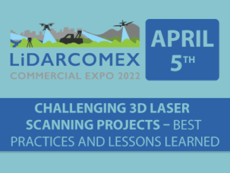
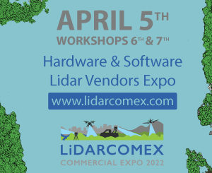
3 Free Streaming Lidar Workshops from 3 of the Best Lidar Companies in the world
The free livestream main conference and workshop day will run from April 5-6, 2022 April 6th Workshops: Cintoo Cloud: A multimodal SaaS platform for your static and mobile scans – In this informative discussion, learn […]