Newsmakers & Press Releases
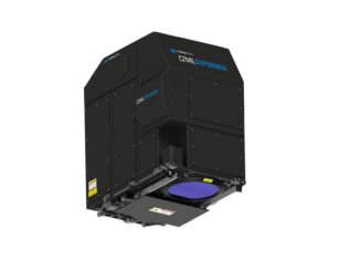
New Teledyne Geospatial combines world-leading expertise of CARIS & Optech to deliver comprehensive solutions for land and sea
Vaughan, Ontario, CANADA – September 14, 2021 – Teledyne announces the launch of a geospatial group with the unification of its Optech and CARIS businesses. The new Teledyne Geospatial group will offer holistic solutions to seamlessly […]