Education & Careers
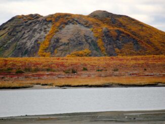
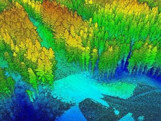
A Japanese Perspective: LiDAR forest data for resource analysis in Japan
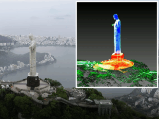
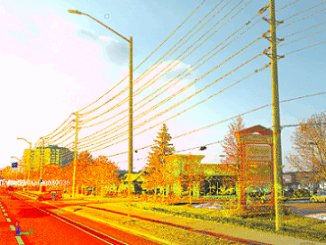
The GIS & LiDAR Specialist I am Kei, a passionate GIS & LiDAR Specialist with over 6 years’ experience in Japan, currently living in Canada and looking to continue my career here. As I have […]