BIM & GIS
The Story Beneath the Map
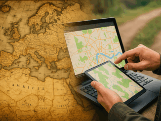
People open maps on their phones every day to check a route, locate a place, or understand what surrounds them. It feels simple, but a long history stands behind that moment. The journey to modern […]
People open maps on their phones every day to check a route, locate a place, or understand what surrounds them. It feels simple, but a long history stands behind that moment. The journey to modern […]
This article is the second part of the accuracy and precision series, which discusses data characteristics, examples of data inconsistency and quality assurance guidelines. The previous article covered common errors often found during fieldwork. Managing […]
Creating a new GIS from scratch is a tough undertaking. It involves a lot of innovation. Ecere, a Canadian company based in Gatineau, Québec has been developing a software platform that has positioned them to […]
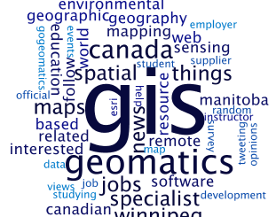
Geospatial information science and technology (GIS&T) has rapidly evolved over the last few decades. This evolution has created a highly demanding job market for GIS professionals [3,4]. Recently, students, graduates, and professionals are more and […]

To start the new year of right we are showcasing the top 5 GoGeomatics Magazine articles from 2012. We launched in September but these articles quickly rose to the top of the leader boards based […]

GoGeomatics: Welcome to the GoGeomatics Canada community. First off, can you tell us about where you are from and where you have lived throughout your GIS career? Brad Maguire: Thanks very much. I grew up outside […]