Technology
Snowplow trackers making it easier to navigate Canadian winters
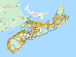
Winter is well underway in many parts of Canada and there are a few mapping resources to help you navigate. After seeing the interactive snowplow map that the Minnesota Department of Transportation has created, I […]