Mercator
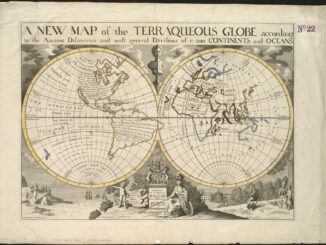
A World That Never Was: 5 Oddities From Ancient Maps
Maps through the Ages Maps are incredible tools that have evolved over the ages as society has made technological leaps…
GNOSIS – A New Geomatics Software Suite
Creating a new GIS from scratch is a tough undertaking. It involves a lot of innovation. Ecere, a Canadian company…
Canadian Geomatics Innovation: Ecere Develops a Next Generation GIS
Not many companies undertake the ambitious goal of creating a new geospatial software suite from scratch. Ecere, a Canadian company…
Discrete Global Grid Systems – A new OGC standard emerges.
The beginning of 2016 was accompanied with a sonorous press release from the Open Geospatial Consortium (OGC) entitled: “OGC® seeks…
Top 5 Popular GoGeomatics Articles from 2015
It’s that time again! Time to take a look back at the last year on the Magazine and see which…
Map Tiles and Cached Map Services
The tiling of large maps is an old practice. Large paper maps have always been divided into a series…
Web Mercator: the de facto standard, the controversy, and the opportunity
Four hundred and fifty years ago, the Flemish geographer and cartographer Gerardus Mercator presented the most popular map projection ever.…