Newsmakers & Press Releases
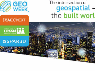
Geo Week 2022
Carving out time and money for professional education and meaningful networking can be challenging, but if that investment results in increased efficiency, better collaboration, safer operations, and valuable connections, you would probably say, “Tell me […]