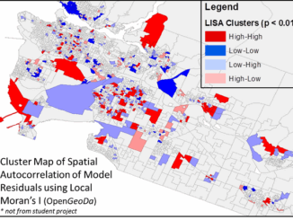
model
PCI Geomatics to Hold User Group Meeting in Ottawa, Canada
PCI Geomatics, a world leading developer of remote sensing and photogrammetric software and systems, will be holding a User Group…
Top 5 Popular GoGeomatics Articles from 2015
It’s that time again! Time to take a look back at the last year on the Magazine and see which…
FAA Announces Small UAS Registration Rule
For Immediate Release December 14, 2015 Contact: Les Dorr or Alison Duquette Phone: (202) 267-3883 Registration Begins on December 21,…
New results from Optech Titan field tests
New results from Optech Titan field tests at AGU Fall Meeting December 8, 2015 — Teledyne Optech is pleased to…
FAA Task Force recommends registration for drones over 9 ounces
A Federal Aviation Administration task force has recommended requiring owners of all drones larger than 9 oz. (250 grams) to…
Web Framework for Flood Risk Assessment: Elevation Services and Simplified Flood Models
The development of infrastructure and dense urbanization along water courses and the increasing severity of storm events has brought to…
Presagis Showcases New Modeling and Simulation Software Suite at I/ITSEC 2015
Unmanned Aerial Systems Border Surveillance demo reveals the realism, power and versatility of Presagis’ M&S Suite 15 MONTREAL, CANADA–(Marketwired –…
Local Action & Geomatics: the Gowgaia Institute on Haida Gwaii
This blog is a sequel to last month’s discussion on ‘think global, act local‘. It looks at the the Gowgaia…
District of Squamish Wins Esri Canada’s Award of Excellence in GIS
VANCOUVER, Esri Canada User Conference – November 17, 2015 – The District of Squamish is a fast-growing municipality between the…
On the Importance of Mentoring in Geomatics
I guess I was lucky. It seems to me that I always wanted to be a civil engineer, but if…
Geomatics: Discovering history in Canada’s Arctic waters
This article was reprinted with permission from the Ontario Professional Surveyor, Volume 56, No. 3, Summer 2015 By Theresa Nicholsi,…
Elevation Web Services: Limitations and Prospects
Elevation Web Services: Limitations and Prospects Elevation data is necessary for a wide range of geospatial applications such as creating…