Earth Observation
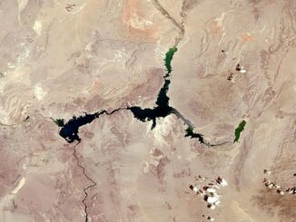
Lake Mead from Above: Its Decline Through the Landsat Lens
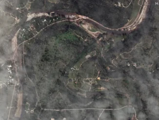
Climate change is no longer a distant threat—it’s a present-day reality. Marked by rising summer temperatures, elevated sea levels, and a growing prevalence of extreme weather events. Talking about wildfires, they are now more frequent […]