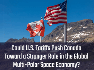
nasa

MDA continues to put Canada on the world’s radar for space exploration

Recently, there has been more exciting news when it comes to space exploration in the Canadian context. The Canadarm3 will…

How Remote Sensing Applications Will Help Put a Price on Carbon

Quantifying our Resources Advances in remote sensing are pushing forward our abilities to quantify natural resources. As satellites improve, offering…

Share your Maps & Data: Soar.Earth jazzes up free access to satellite content every day

Geared towards the general public, Soar.Earth presents an online platform that resembles a digital, free-of-charge atlas. Pooling in from crowd-sourced…

NASA: a view of Hurricane Dorian from space

Satellites operated by NASA and the National Oceanic and Atmospheric Administration (NOAA) continue to track its movement and progress. You can…

Your Global Geospatial Briefing for December 17th: ICEYE-X2; 2018 in big data; London smart city awareness; Collect Earth Online; Geo4SDGs

ICEYE-X2 publishes first image  The world’s largest Synthetic-aperture radar (SAR) satellite constellation built by ICEYE has published its first image.…

Devastating California Wildfires: SAR images from the Copernicus Sentinel-1

› Larger view As firefighters continue to battle the destructive Camp Fire in Northern California, the Advanced Rapid Imaging and…

Your Canadian Geospatial Briefing for October 29th: Petawawa Research Forest; exactEarth; Jeff McKenna; Evergreen; Toronto’s geographic history

Tracking climate change with LiDAR Donna Kirkwood, the chief scientist at Natural Resources Canada (NRCan), marked the 100-year anniversary of…