National Expo

The Canada Maps & Poster Gallery

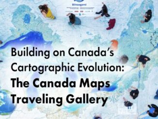
Building on Canada’s Cartographic Evolution: The Canada Maps Traveling Gallery

Mapping has a rich and storied tradition in Canada, reflecting the country’s diverse landscapes and complex geographic features. Indigenous peoples…

The Public Good Program is Back at GoGeomatics Expo

The Geomatics for the Public Good program at the National Expo highlights how geomatics technology is being harnessed across federal,…

businessSMART Canada offers Summit at GoGeomatics Expo

buildingSMART Canada Joins with GoGeomatics for the Annual Summit at Canada’s National Geomatics Expo

buildingSMART Canada (bSC) is pleased to announce its partnership with GoGeomatics Canada to host the bSC Annual Summit during Canada’s…

Geospatial AI at GoGeomatics Expo

Geospatial AI program at Canada’s National Geomatics Expo

Join us as we look at new advances and interesting ideas in geospatial AI while leveraging the power of geomatics…

Canadian maps

Charting New Territories: Collaborative Cartography at the Canadian Cartographic Association Conference

One of the most notable events on the Canadian geomatics calendar is the annual conference hosted by the Canadian Cartographic…