Newsmakers & Press Releases
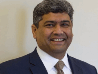
Prashant Shukle elected as Vice Chair of the OGC Board of Directors
18 January 2022 — The Open Geospatial Consortium (OGC) Board of Directors announces that it has elected Prashant Shukle as its new Vice Chair. “As a global Consortium, we have substantially benefited from Prashant’s expertise […]