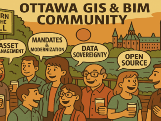
BIM & GIS
GlobalBuildingAtlas and the Digital Commons
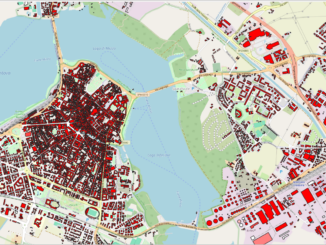
Collectively Built and Shared I have recently been thinking about the large number of free and open digital resources I use in my daily life. I frequently use tools like QGIS, rely on knowledge resources […]