Georeferencing Scanned Maps Using QGIS
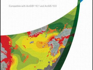
One of the passions of modern day information technologists is to convert the past to digital form and to put it on display. To this end the City of Vancouver recently completed a large project […]
Jambo from Nairobi, Kenya! I, Jon Murphy – GoGeomatic’s intrepid Managing Director, am in Kenya having a look at how Canadian geomatics technology is being deployed in East Africa. The G-Locate team in […]
As a former Burnaby resident and fairly new to the field of GIS as a 2013 graduate of BCIT’s GIS Advanced Diploma program, I became a regular attendee at Vancouver GoGeomatics socials for two years […]
Last month in Part 1 of my series I shared my reasoning on why I wanted to try for the Esri Desktop Associate Certification. Since then I started to study for the certification, and I’m […]
On March 15-16th the GeoAlliance is hosting a strategy event in Calgary you can see here. They are trying to bring together members of the Canadian geomatics community to develop a “Roadmap.” GoGeomatics, like many other groups can’t […]
A couple weeks ago, I decided that I wanted to take one of the Esri Technical Certification Exams to improve my resume and my career. I find, like I imagine many other young GIS professionals […]
I am sharing an email GoGeomatics received from the delicate flowers at GeoAlliance Canada. We got it a few hours after GoGeomatics published a cartoon on February 22nd. I will leave it to the community […]
There seems to be great confusion between these two great disciplines, especially noting that some geographers and schools claim that Geomatics is a geographical science when it is not. There has been a general confusion […]