Pilot
Gopher State One Call presents In Memory of Geoff Zeiss: Minnesota Utilities Mapping Project: SUMSF 2023
The first livestream of SUMSF 2023, on May 16, 2023, was by the Keynote speaker, Gopher State One Call Chief…
Canadian BIM and Digital Twin Digest for August 18, 2022
Canadian BIM and Digital Twin Digest: Digital Twins Remodeling Cancer Care; Wolfe Island Welcomes First 3D Printed House; Digital Transformation…
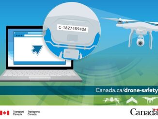
Sales of Illegal RPAS Pilot Certificates and Drone Registration Cards
Transport Canada recently became aware of sales of wallet-sized “Transport Canada Drone Pilot Certificate” and “Transport Canada Certificate of Registration” via eBay through a seller located in the United States. There were listings where the Drone Pilot Certificate and Certificate of Registration were sold separately and individually.
Free Webinar March 15th: NRCan, OGC, & USGS Arctic Spatial Data Pilot Demonstration
The Canada Centre for Mapping and Earth Observation invites you to attend the Arctic Spatial Data Pilot Demonstration Webinar. Managed and…
Operational Use of Remotely Piloted Aircraft System (RPAS) for Geomatics Applications
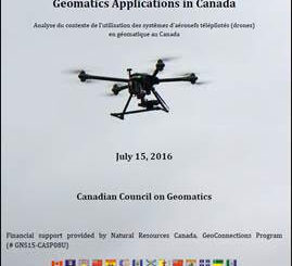
Recently, I reviewed a report by the Canadian Council of Geomatics on the use of Remotely Piloted Aircraft Systems (RPAS)…
Operational GIS Jobs in the Canadian Military
Whether its businesses, governments or for personal use, Geomatics offers everyday solutions to the worlds questions. The Canadian Armed Forces…
UAVs in Canada – Key Exposures to Loss and Ways to Protect Yourself
This article was written by Mark Sampson for the Association of Ontario Land Surveyors. Mark’s contact details are at the…
Volunteer & Map Canada: Statistics Canada Crowdsourcing Pilot Project
Statistics Canada has launched a new pilot project using OpenStreetmap. For many Canadians outside of the geomatics community this is…
Earth Observation Represents a $43 Billion Opportunity Over Next 10 Years
NSR’s Satellite-Based Earth Observation (EO), 8th Edition report, released yesterday, projects data, value-added services, information products, and big data analytics…
Open Geospatial Consortium adopts the OGC SensorThings API as an official standard
The Open Geospatial Consortium (OGC®) has adopted SensorThings API Part 1: Sensing as an official standard. The OGC SensorThings API…
Canada Takes Part: Arctic Spatial Data Infrastructure Meets in Anchorage
The Arctic SDI Board, which includes mapping executives from Canada, Kingdom of Denmark, Finland, Iceland, Norway, Russia, Sweden and the…
Transport Canada updates Canadian UAV Stakeholders
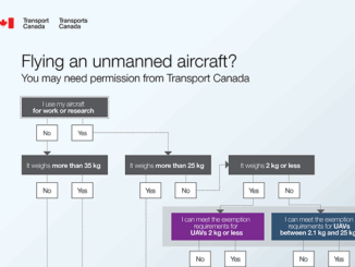
GoGeomatics got an interesting email this week about the proposed regulatory framework regarding UAVs from Transport Canada. It’s really an…