RIEGL VQ-1560i
Quantum Spatial Canada Supports Disaster Preparedness on Vancouver Island Through Lidar Survey Covering 9000 Square Kilometers
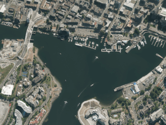
Located off the Pacific Coast of British Columbia, Vancouver Island is home to just under 900,000 people, as well as…
Marketing
Popular Posts
-
International Geospatial Briefing March 8th: Geography, a cause for inequality; Drone Survey of a Wind Farm Access Road; Loss of soil study using satellite imagery; Japanese noisy children map; Minority-owned businesses map
-
The Evolution of Mapping Disease
-
A Japanese Perspective: LiDAR forest data for resource analysis in Japan
-
Introducing New GoGeomatics Online Community Managers : Nick, Jacob and Leo
-
Canadian Geospatial Briefing March 1st – AI helping response to extreme weather; Inukshuk Geomatics celebrating 20 years; Telesat basing Lightspeed broadband operations in Gatineau; CATALYST Microservices – cloud-based earth observation processing; Canadian Coast Guard testing new UAV; GeoIgnite Career Fair April 14th
