Satellite imagery
Maxar’s Global Technology Shift from 2D to 3D
Maxar Endeavours to use Space and Earth Intelligence for the future of Geospatial Intelligence “Imagery is the foundation of our…
Canadian Geospatial Briefing May 16th: 1. Correlation between BC wildfires and floods 2. NG9-1-1 GIS Validator 3. NRCan migrated petabytes of geo data to the cloud 4. Aerial Imagery Cost-Sharing 5. RCMP using aerial images for missing people
Satellite mapping finds correlation between B.C. wildfires and floods Data scientists at SparkGeo, a geospatial company based in Prince George,…
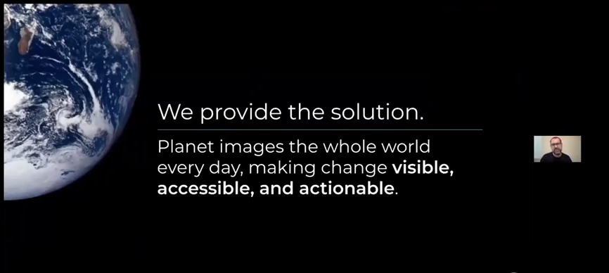
Planet Reveals New Applications Using Satellite Data For Agriculture
Impressive Planet Constellation Gives Insight Into Agricultural Sector Greg Crutsinger, Ph.D., Customer Success Manager for Agriculture at Planet, spoke at…
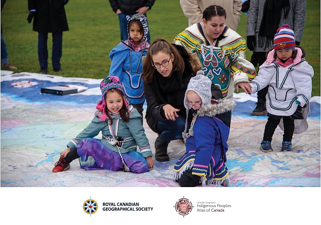
Canadian Geospatial Briefing April 18th: 1. Esri Canada program director’s sudden passing; 2. Kanien’kéha mapping project; 3. Indigenous People’s Atlas of Canada; 4. Vernon floodplain maps; 5. Grassland mapping project
Esri Canada’s Program Director killed in small plane crash on March 21st John Bacon, Program Director in Esri Canada’s Geospatial…
International Geospatial Briefing March 14th: 1. Amazon Heading Towards “Tipping Point” 2. Rising Geospatial Stars of 2022 3. New Software from Locana for Mobile Workers 4. Enabling Clarity in the Face of Disaster 5. Ukraine: Geospatial Stories from the War
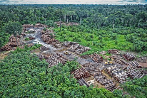
Satellite Imagery Shows Amazon Rainforest Heading Towards Tipping Point New research in the Amazon rainforest shows the alarming rate of…
Companies to unlock unprecedented levels of location-based data with Sparkgeo’s new Prescient Earth Observation platform
Every day over 500TBs of data flow from earth observation satellites. Pair that with data from billions of smart devices,…
International Geospatial Briefing Oct 25th: 1. Interactive map of hidden archaeological landscapes. 2. GIS helps asylum seekers 3. Extent of California oil spill. 4. Mapping Bogota’s neighbourhoods 5. Map Tools international travel requirements 6. New York new subway map 7. GeoSLAM maps underground refugee shelter from Spanish Civil War
This Interactive Map Lets Users Explore England’s Hidden Archaeological Landscape Attention all history enthusiasts, Historic England has created a new…
International Geospatial Briefing Oct 12: 1. Mapping endangered species; 2. Mixed reality visualization by extended reality; 3. Mapping reef in Australian coast; 4. UN releases flood map after 1985 worldwide; 5. Apple introduces no-code AI for geospatial application
Mapping threats to land mammals, amphibians and birds Climate change and human activities are both causing challenges for different animals…
International Geospatial Briefing May 17th, 2021: Deepfake geography; the architectural heritage of Mexico City; the problem of space junk; a Female Future in GIS; tracking Coronavirus vaccines; Citizen science – mapping the location of Brood X Cicadas
AI can alter geospatial data to create deepfake geography. Many of us have seen the growing trend of videos of…
International Geospatial Briefing May 3: Growing problem of deepfake satellite images; Bird migration map shows huge influx into Michigan; Google Earth timelapse visualizes human footprint; Remote Sensing to study chimoanzees; Mapping of childhood undernutrition in India
False satellite images created by machine learning raise concerns about the reliability of data AI technologies has been used to…
How Remote Sensing Applications Will Help Put a Price on Carbon
Quantifying our Resources Advances in remote sensing are pushing forward our abilities to quantify natural resources. As satellites improve, offering…
Share your Maps & Data: Soar.Earth jazzes up free access to satellite content every day
Geared towards the general public, Soar.Earth presents an online platform that resembles a digital, free-of-charge atlas. Pooling in from crowd-sourced…


